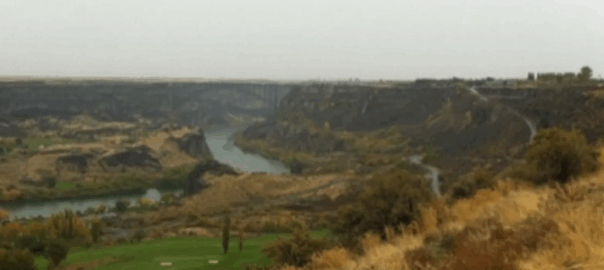
The trick is to find the access to the Snake River Canyon. The view was spectacular from the rim of shear drop cliffs but the floor below beckoned so after a rambling jog on a wet rainy day I discovered a trailhead visitors center (despite the lack of signage) and began a decent. The objective? A spectacular 200′ water fall at the Perrine Coulee Creek terminus. The base of this fall is accessible by a short mud trail off of Canyon Springs Rd. The Perrine Bridge would also be a great walk / jog. Next time…

