Folie from French speaking means “delight” or “favorite abode”
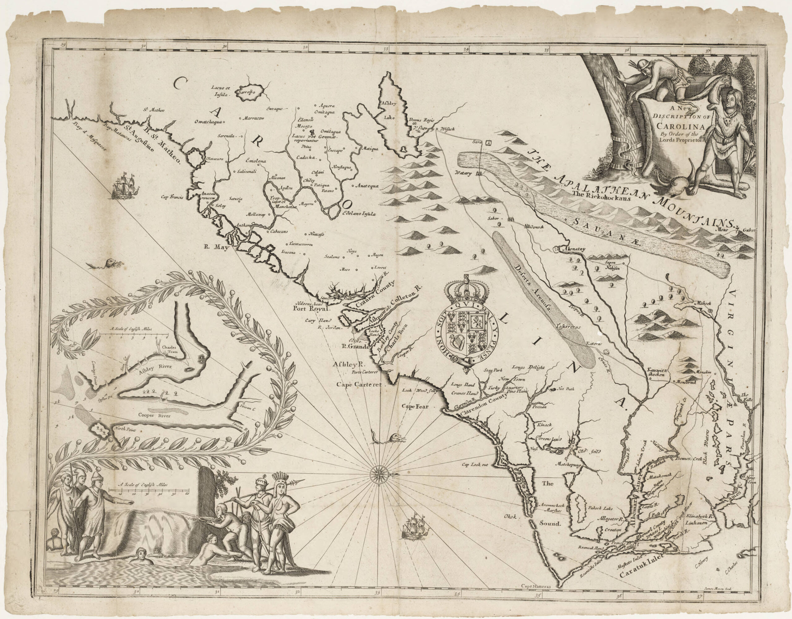
The name origin for the river that borders my community is a point of debate. It is depicted on an early Carolina regional map from 1671 ordered by the Lords of Proprietors. The name “Lockwood Folly” appears, making it one of the oldest named rivers in North Carolina.
Lockwood, the name of a settler possibly from Barbados, tried to establish a colony along the river’s banks in the 1660s. This aligns with the era’s colonial ventures at the Cape Fear. Around 1663, Puritans from New England briefly settled there under William Hilton (think Hilton Head), only to abandon it quickly. Soon after, Barbadians, led by figures like the Yeamans and Vassall families, attempted another settlement, bringing enslaved Africans aiming to supply Barbados with raw goods. Lookwood evidently broke ranks and moved Southwest of the Cape Fear to this river, his namesake, finding it beautiful and lovely.
The Lockwood Folly River is described by many as North Carolina’s second-most picturesque (after the Waccamaw). It is a 25 mile long waterway flowing through central and southern Brunswick County before emptying into the inlet near Sunset Harbor. Its watershed spans about 150 square miles, supporting pinelands, wetlands, blackwater creeks, and estuaries— habitats that sustain wildlife like alligators, deer, oysters, and countless bird species.
So much for the poetic side and now drama where “Folly” adds a twist that’s spawned several tales and yarns. Ebenezer Hazard’s 1778 travel journal, suggests Nicholas Lockwood a ship’s captain mistook the inlet for the deeper Cape Fear Inlet, wrecking his ship and naming the spot after his error. Perhaps the most popular modern day spin is that Lockwood built a ship too large so that when launched could not traverse the inlet shallows. Thus the alternate definition of folly — failure.
A year 1734 account, cited by historian James Sprunt is that Lockwood was a tyrant, mean, and who mistreated the local Indians so poorly that he was forced to abandon his home settlement on the river when they destroyed it — driven out.
Lockwood Folly River has carried its quirky title through centuries, from those rough early days. Its history reflects the Cape Fear’s fits-and-starts settlement—a “what-if” tale of a colony that might’ve rivaled Virginia or South Carolina if it hadn’t faltered. Instead, it left us a river with a name that is as much a puzzle as it is a landmark.


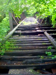
 No Smoking in the ticketing lobby today. You can make out the uneven wear from decades of foot traffic; undulations reflect in the polished marble floor of the North Hall waiting area. The
  Sunday morning grey mid February had the